
Here's the thing about San Francisco: it will find a way to charge you for almost everything. A coffee is six dollars. Parking is its own act of violence. But the views, somehow, are still free. You just have to climb a little.
This city is built on more than 40 named hills, which means half the work of getting a postcard shot is already done for you; you mostly just have to make a climb or three. What follows are 10 spots where the only cost is your calves and maybe a jacket. The one rule of San Francisco views is that the fog gets a vote, so pick a clear afternoon, go around golden hour, and bring a layer. The view will be there. The sun might not.
Addresses and directions below. No tickets, no reservations, no line.
San Francisco Views You Don’t Have to Pay For
Just Drive Up (Or Ride)
Twin Peaks | Twin Peaks
100 Christmas Tree Point Rd. (also listed as 501 Twin Peaks Blvd.)
Free parking lot at the top. Open 5 a.m.–midnight. Car access via Portola Drive; or take the 37-Corbett bus.
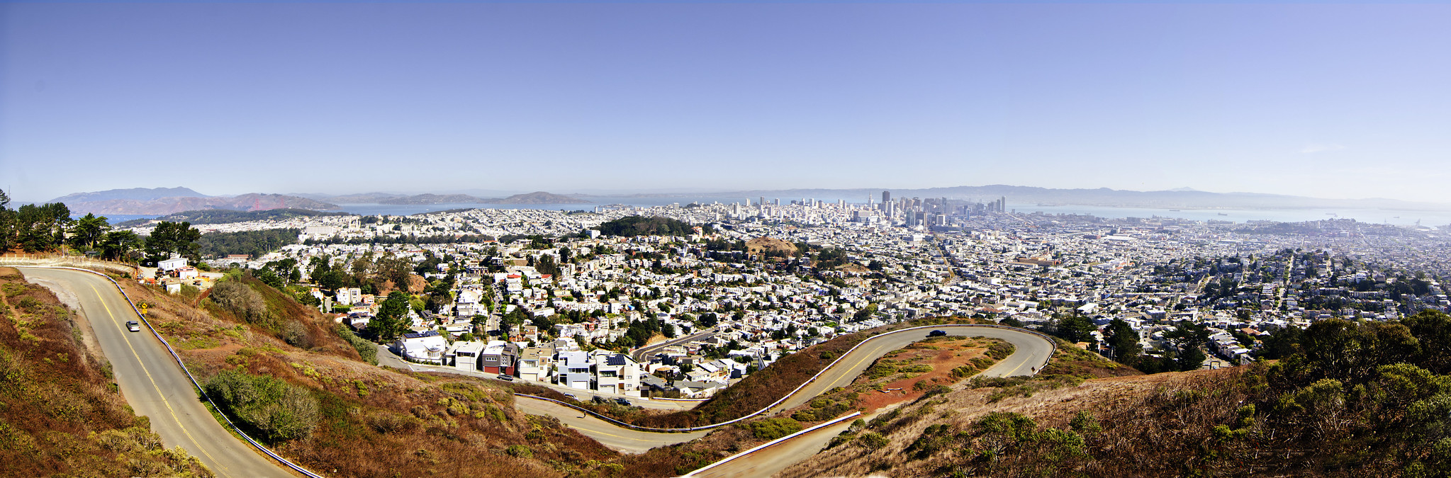
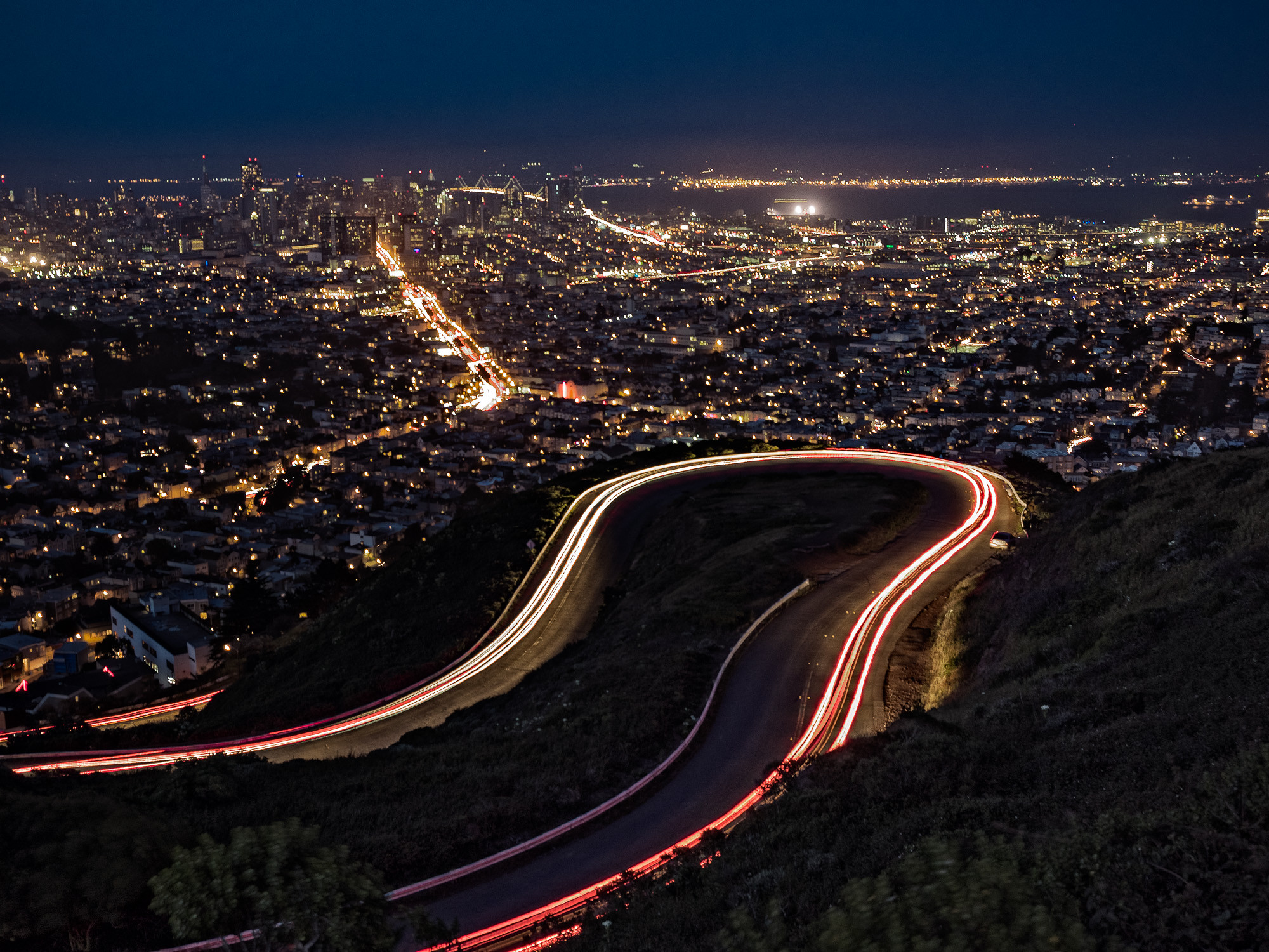
This is the one the tour buses know about, and for good reason. From Christmas Tree Point you get the whole 360: Golden Gate Bridge, Bay Bridge, Alcatraz, the downtown skyscrapers, Market Street shooting straight at you like a runway. It's the obvious answer, about 925 feet up. If you want to feel smug, climb the stairs from the lot to the actual north peak and leave the crowd behind. Go at sunset, then stay for the part where the whole city switches its lights on underneath you. Bring a jacket; it is always, always windier than you think.
Salesforce Park | SoMa
425 Mission St. (rooftop of the Salesforce Transit Center).
Free gondola at Mission & Fremont, or take the elevators and escalators inside. Open 6 a.m.–9 p.m. (May–Oct), 6 a.m.–8 p.m. (Nov–Apr).
tjpa.org/salesforce-transit-center/salesforce-park
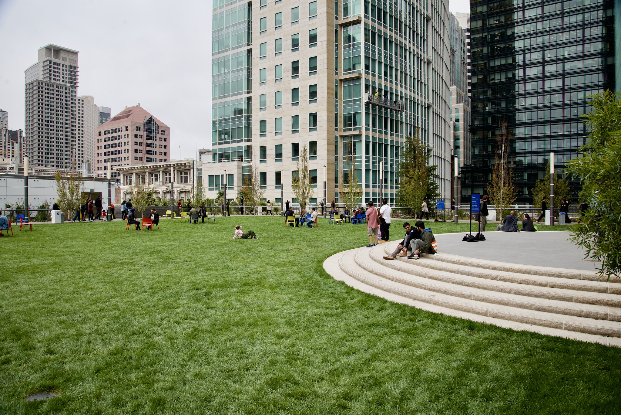
The view here is less "the whole bay" and more "you are standing in a 5.4-acre garden floating above downtown," which is its own kind of flex. There's a glass gondola that lifts you up from street level for free, and it only goes up; you take the escalator back down like a regular person. Once you're up there it's 600 trees, a fountain that fires when the buses move below, and the Salesforce Tower looming over you like it's checking your work. Most locals still don't know it exists. That's the move.
Alamo Square | Western Addition
Steiner St. & Hayes St.
Street parking. Enter at the Hayes and Steiner corner and walk uphill to the grass.
sfrecpark.org
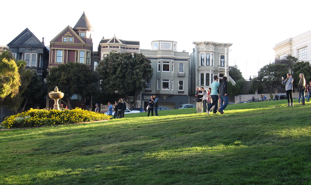
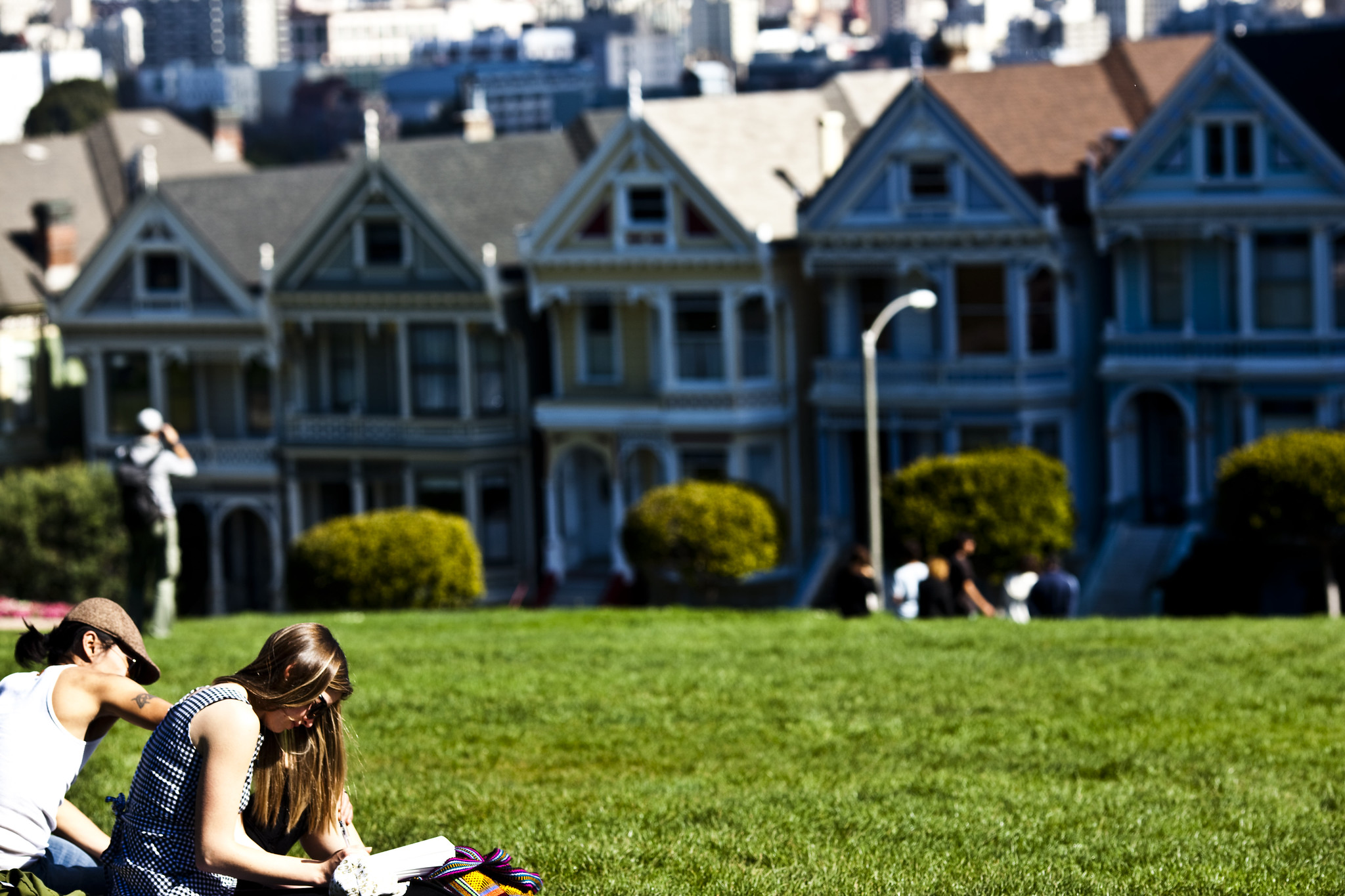
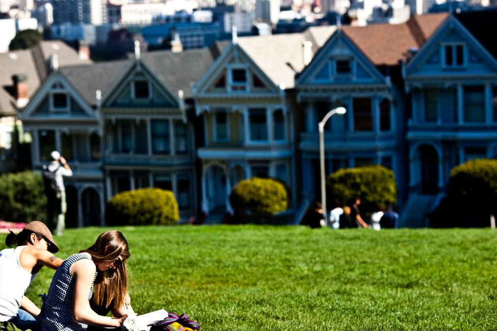
Yes, the Painted Ladies. Yes, the "Full House" lawn. It's a cliché because it works: stand on the slope above Steiner facing east and you get the row of pastel Victorians with the downtown skyline stacked right behind them, old San Francisco and new San Francisco in a single frame.
 The Bold Italic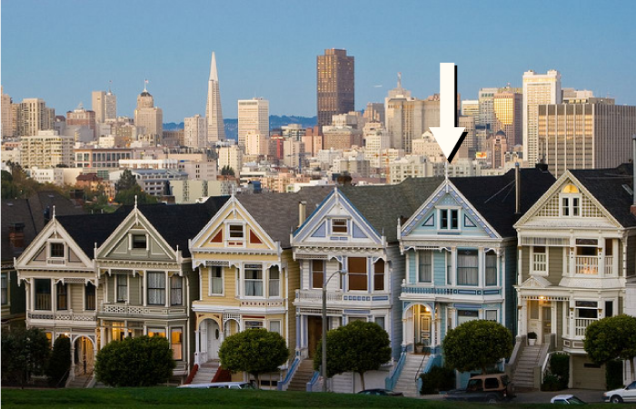
Come in the morning if you want it to yourself, late afternoon if you want the houses lit gold. Either way you'll be sharing the hill with a hundred phones, and honestly, fine. Some postcards earn it.
Earn It With a Climb
Corona Heights Park | Castro
Roosevelt Way & Museum Way (32 Museum Way).
Open 5 a.m.–midnight. Free parking at the Randall Museum lot off Museum Way; a few blocks from the Castro Muni station.
sfrecpark.org
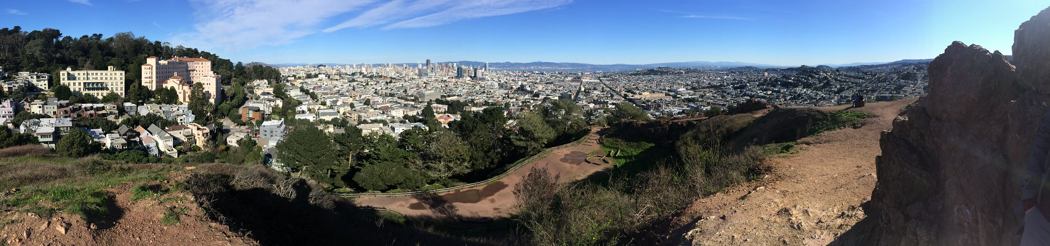
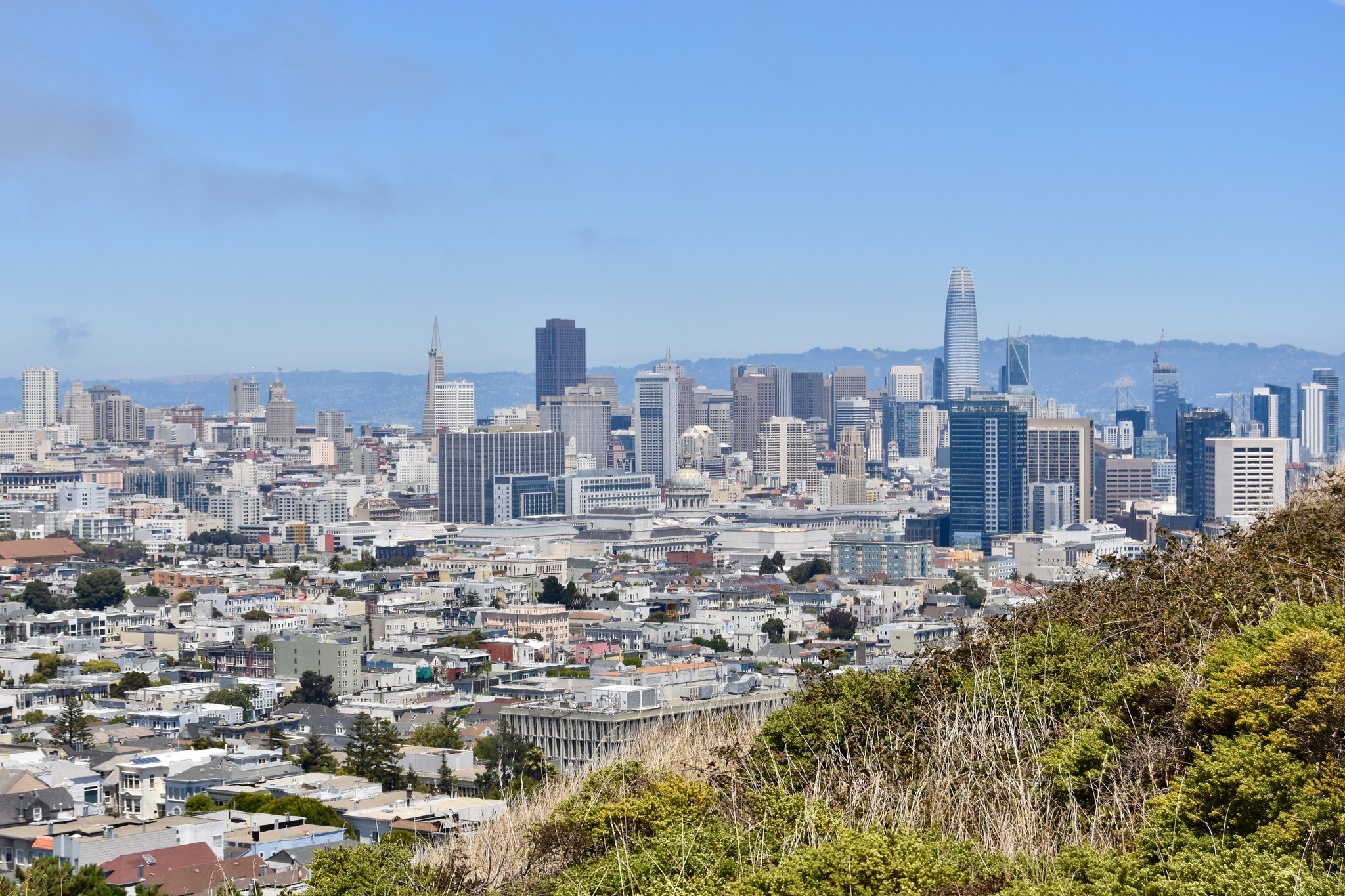
A five-minute scramble up red chert rock that feels weirdly like the high desert got dropped into the middle of the city. The payoff is a clean, unobstructed sweep from downtown across the bay, with none of the Twin Peaks tour traffic. There's a dog park on the way up and the Randall Museum about halfway, but the summit is the point: bare rock, big wind, the Mission laid out below you. Watch your footing on the loose gravel and go 30 minutes before sunset. This is a local's view, and locals keep it that way.
Tank Hill | Cole Valley
East end of Belgrave Ave. (GPS "Tank Hill," or 2 Belgrave Ave.).
Street parking on Belgrave or Twin Peaks Blvd.; wooden stairs lead up from either side. N-Judah to Stanyan, then walk.
sfrecpark.org
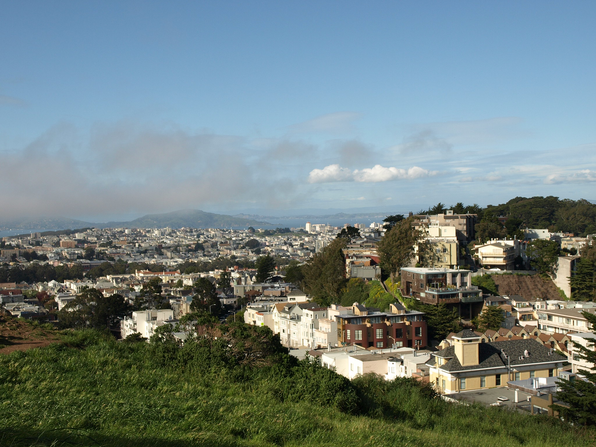
I'll cop to a bias here, since this one's basically in my backyard. Tank Hill is the secret everyone in the neighborhood is quietly gatekeeping. It's so small that some maps skip it entirely, and yet it delivers a bridge-to-bridge panorama that rivals hills four times its size; Point Reyes to the Bay Bridge in one slow turn of your head. It's named for a water tank that's long gone, though the cement foundation is still up there. Climb the rocks, find a flat spot, watch the fog pour over Cole Valley below you. Best sunset-and-a-blanket spot in the city, and I will fight about it.
Grandview Park (Turtle Hill) | Inner Sunset
Base of the 16th Avenue Tiled Steps, Moraga St. between 15th & 16th Aves.
Climb the mosaic steps and keep going up. N-Judah to the Sunset, or the 66-Quintara bus to 16th & Moraga.
sfrecpark.org
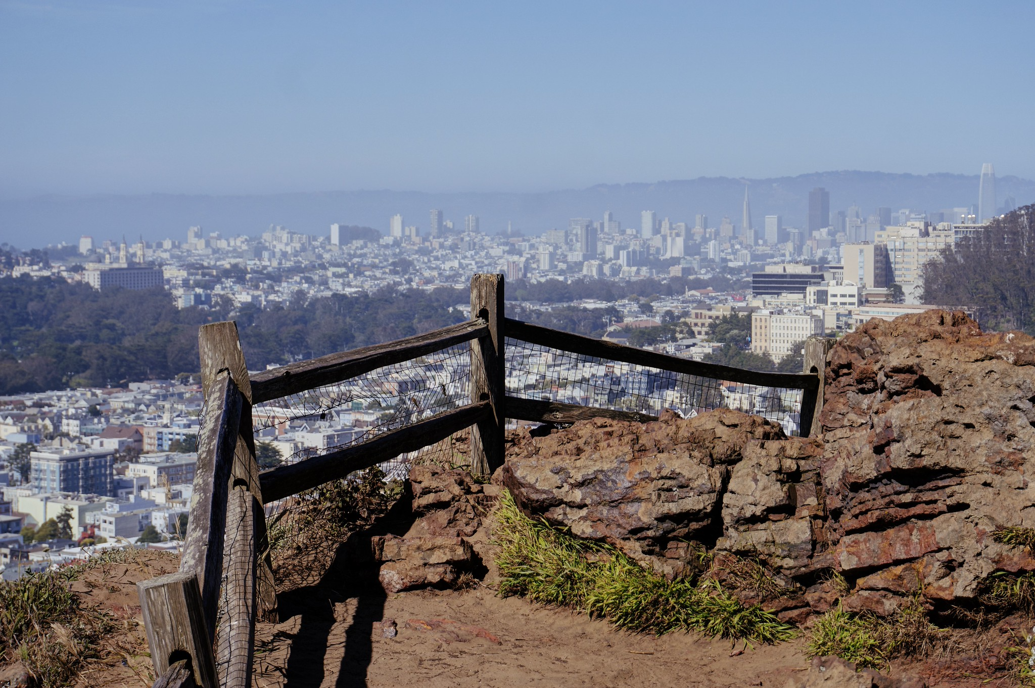
Two payoffs in one. First you climb the 16th Avenue Tiled Steps, the 163-step mosaic of sea and sky that's the most photographed staircase in town. Then you keep going up to Grandview, also called Turtle Hill, where a sandy little summit ringed by cypress hands you the ocean on one side and the skyline on the other. It's the rare west-side view that puts the Pacific in the frame; on a clear day you can catch the Golden Gate too. Wear real shoes. The sand at the top is no joke.
Bernal Heights Park | Bernal Heights
Bernal Heights Blvd. (the road loops the summit).
A handful of parking spots along the boulevard and a small lot on Folsom St.; dirt trails climb up from all sides.
sfrecpark.org
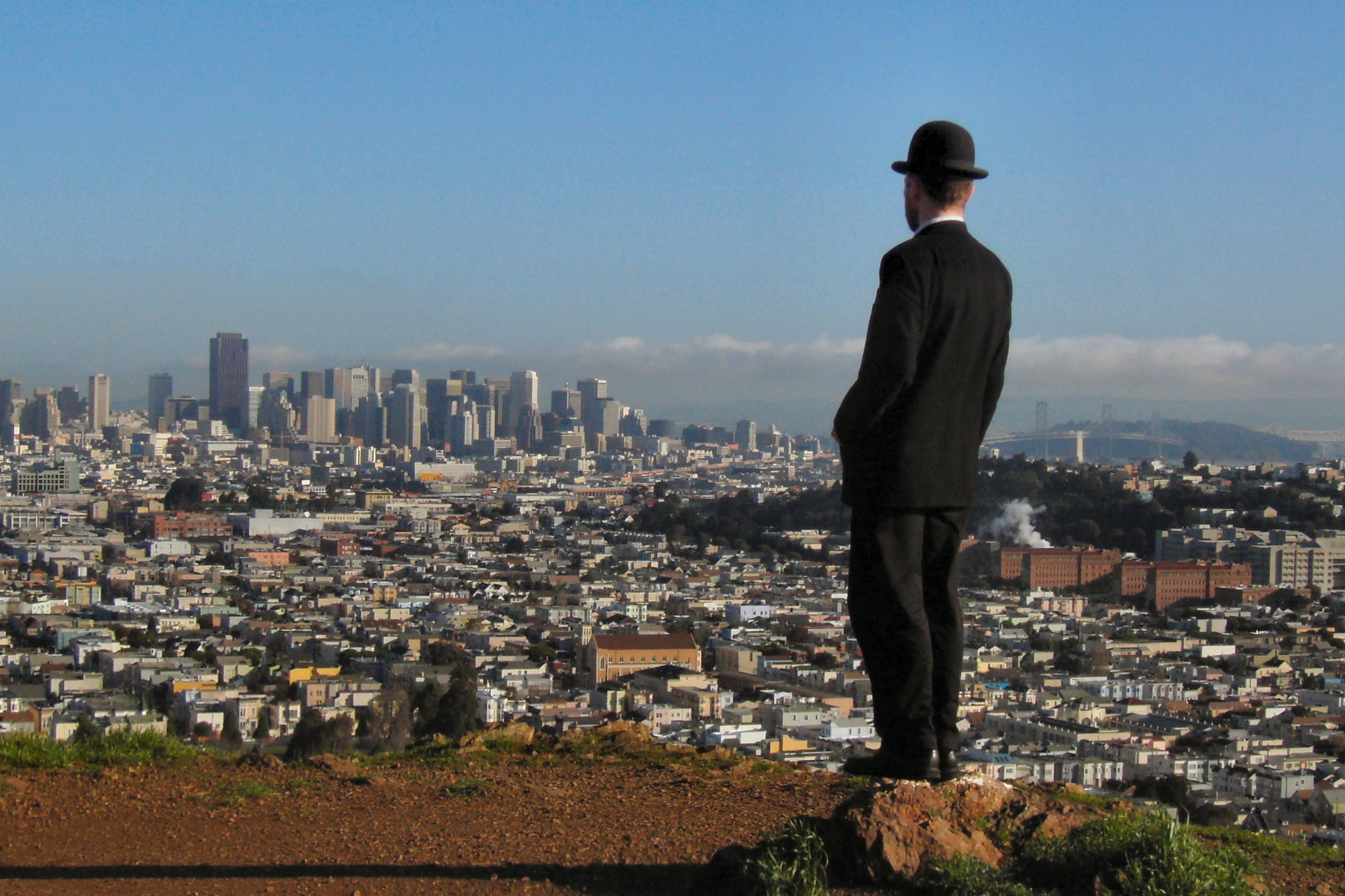
Bernal Hill has one trick that beats every other hill on this list: it stays sunny when Twin Peaks is buried in fog. The grassland summit gives you a full 360; Golden Gate Bridge, downtown, San Bruno Mountain, the East Bay hills, and red-tailed hawks riding the wind over your head. It's an off-leash dog park, there's a resident coyote, and if you're lucky you'll find the rope swing somebody keeps hanging off the south side. Less of a hike than it looks, more reward than you'd expect. Bernal regulars will tell you it beats Twin Peaks, and they're not entirely wrong.
Mount Davidson | Miraloma Park
Trailheads on Dalewood Way, Juanita Way, and Myra Way.
Street parking at the trailheads; the 36 bus stops near Dalewood. No car access to the summit.
sfrecpark.org
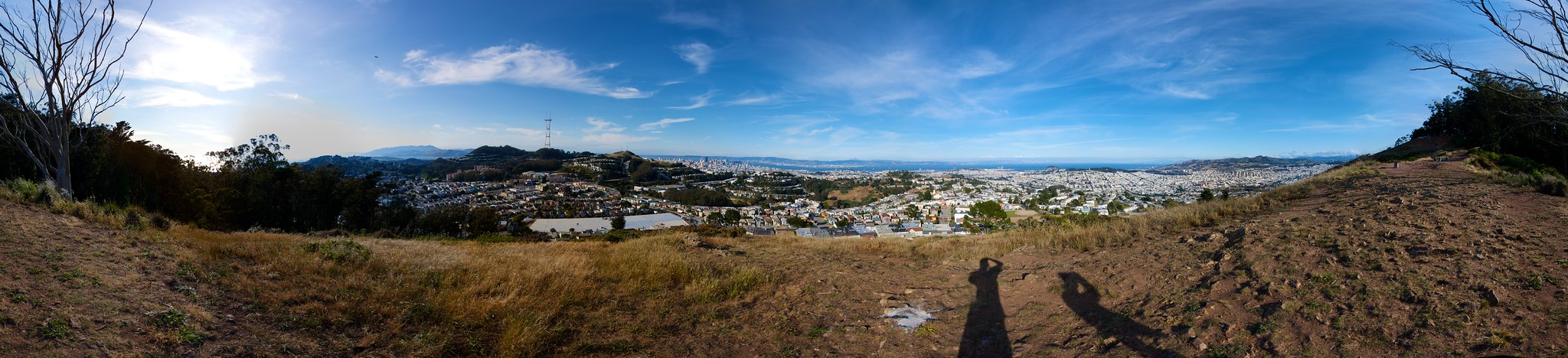
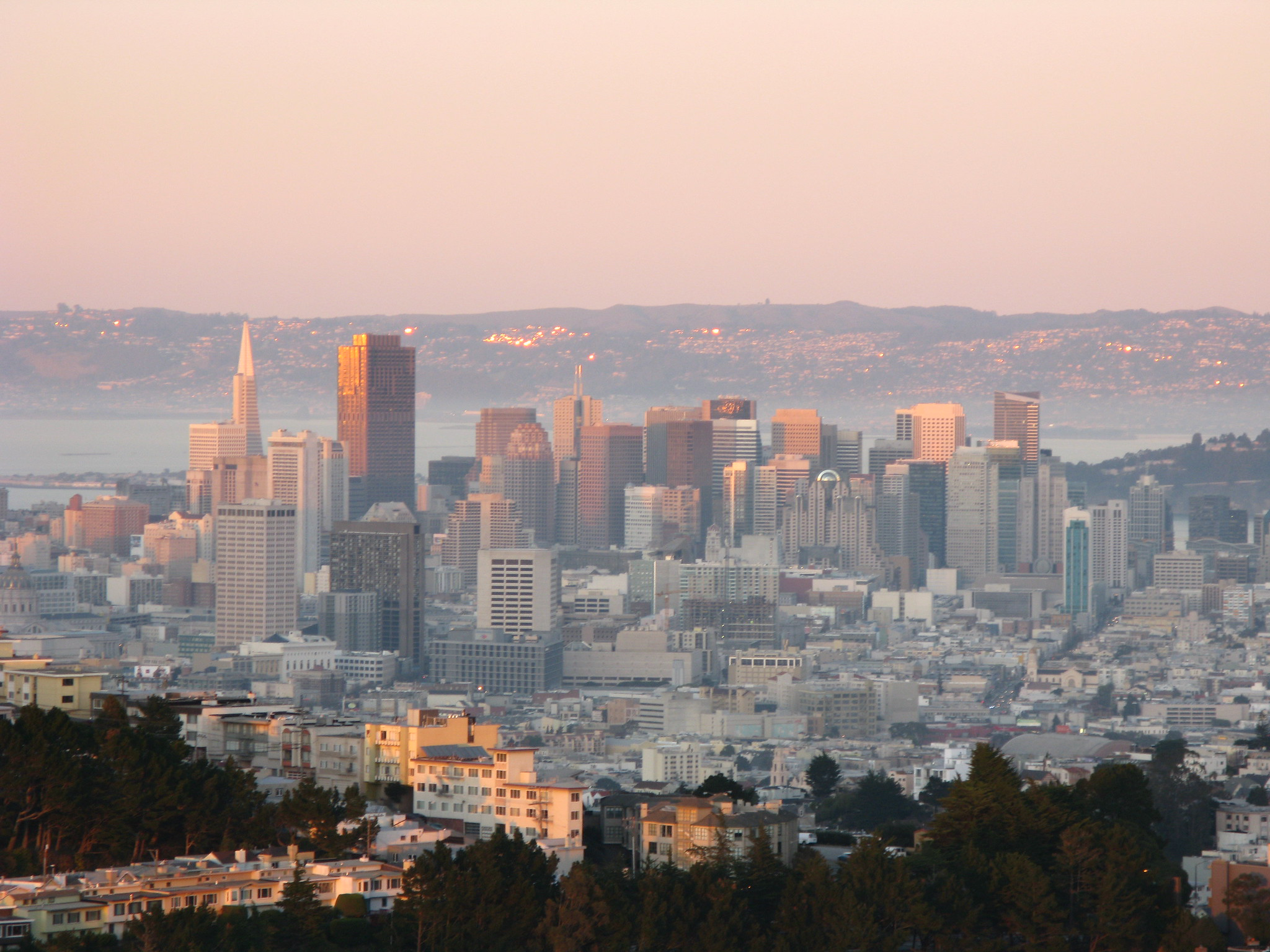
The literal high point of San Francisco, 928 feet, taller than Twin Peaks, and almost nobody goes. The trail up winds through eucalyptus and cypress so dense and fog-fed it feels like a rainforest, then opens at the top to a 103-foot concrete cross (a long, complicated story involving a church-state lawsuit and an Armenian genocide memorial) and a wide view east over the city. Because you can't drive to the top, it stays quiet. It's the kind of hike where you hear birds and your own footsteps and not much else. Locals know it as the hill with the cross.
Off the Beaten Path
Ina Coolbrith Park | Russian Hill
Taylor St. & Vallejo St.
Street parking; the Powell-Mason cable car runs along Mason St. at the bottom of the park's stairs.
sfrecpark.org
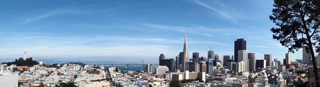
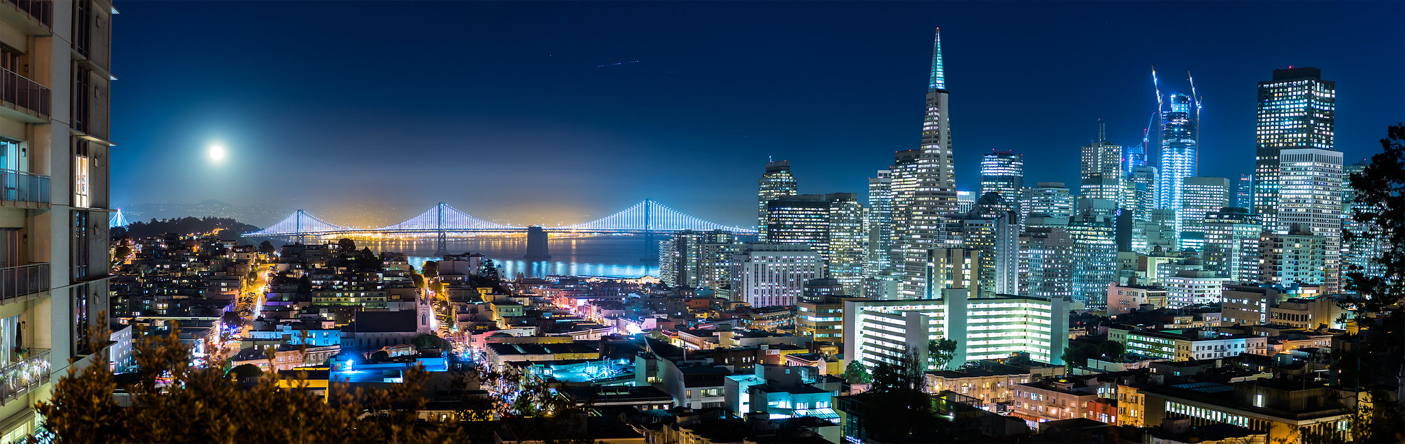
A terraced pocket park tumbling down the Russian Hill slope, named for Ina Coolbrith, California's first poet laureate, who lived a block away. It's all stairs and garden landings, and every level hands you a different view: the bay, Alcatraz, the Bay Bridge, and Coit Tower framed so neatly through the trees it looks staged. "Tales of the City" fans, take note; the lanes nearby inspired Armistead Maupin's Barbary Lane. Small, steep, romantic, and almost always empty. Bring someone you like.
Lands End | Outer Richmond
Lands End Lookout, 680 Point Lobos Ave.
Free parking at the Merrie Way and El Camino del Mar lots (arrive early; they fill). The Coastal Trail runs the whole headland.
parksconservancy.org/parks/lands-end
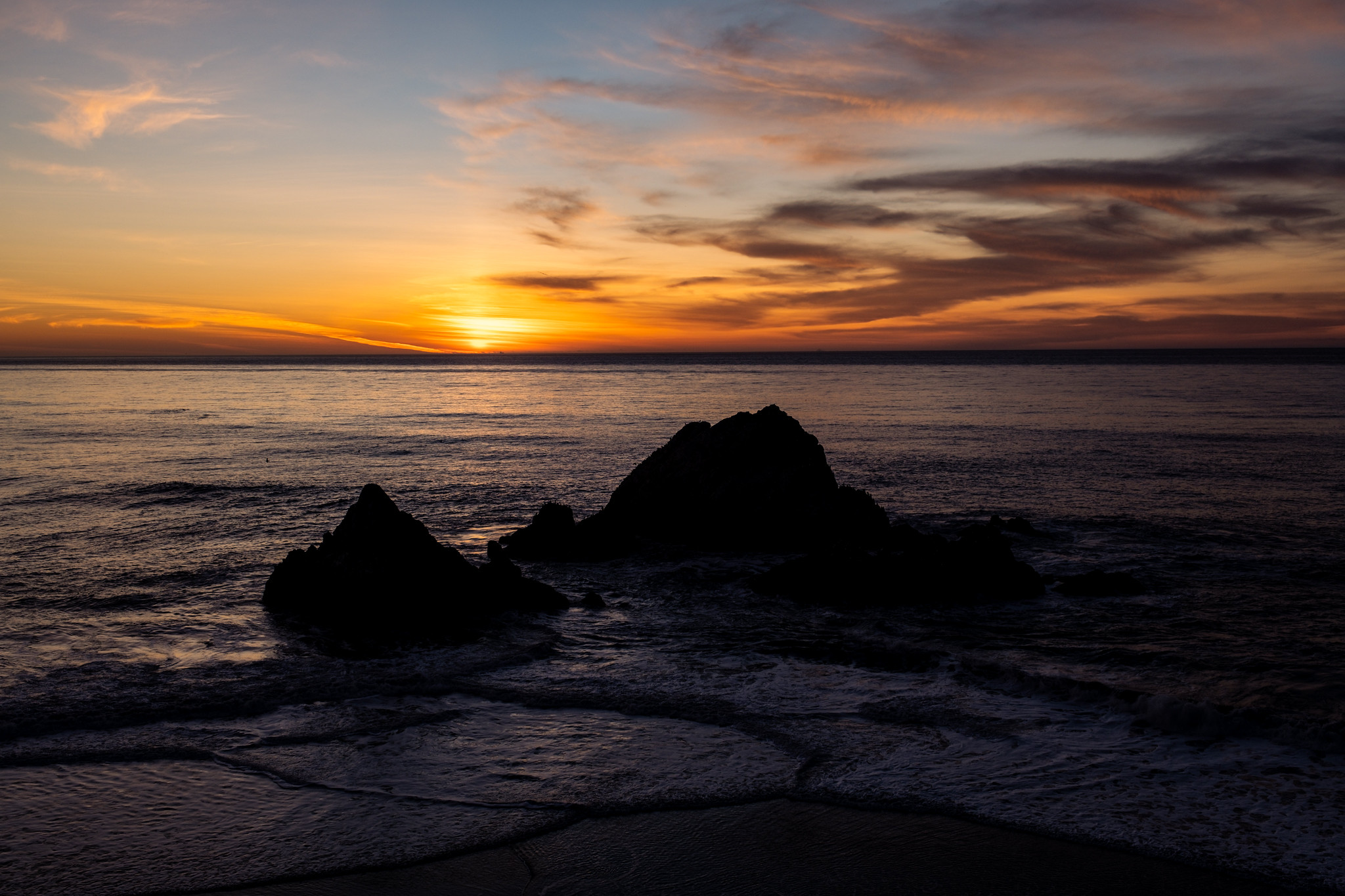
The wild edge of the city. The Coastal Trail traces a cliff above the Pacific with the Golden Gate Bridge ducking in and out of the cypress as you walk, plus a string of overlooks (Mile Rock, Eagle's Point) with benches built for exactly this. Below you are the ruins of the Sutro Baths, a 19th-century swimming palace that burned down in 1966 and still looks like the bones of a lost civilization. It's free, the parking's free, and it's the one view on this list where you smell salt instead of car exhaust. Layers are mandatory; out here the fog means it.
Got a view I missed?
Leave a comment or send a note to info@thebolditalic.com.
Saul Sugarman is editor-in-chief and owner of The Bold Italic.
The Bold Italic is a not-for-profit media organization, and we publish first-person perspectives about San Francisco and the Bay Area. We operate under a fiscal sponsorship of a 501(c)(3).
You can become a paid subscriber. Or donate. Or learn more about us.