

By Ann-Marie AlcĚÁntara
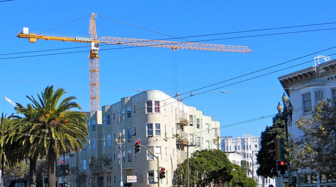
Living in San Francisco these days means there’s no end to seeing permit signs pop up on abandoned storefronts, and the city’s skyline bristles with so many cranes that it’s inspired a t-shirt. For residents curious what’s slated for their neighborhood, navigating the Planning Department’s website is usually a confusing mess, which makes the release of two new maps especially exciting.
The Planning Department and Buildingeye, a startup, created two maps that help people find out what planning application is in progress and what projects are under environmental review. The maps also detail what planning applications have already gained approval and what projects have completed their environmental review. According to Curbed SF, there’s another map in the works for the Department of Building Inspection that will be combined with the Planning Department one.
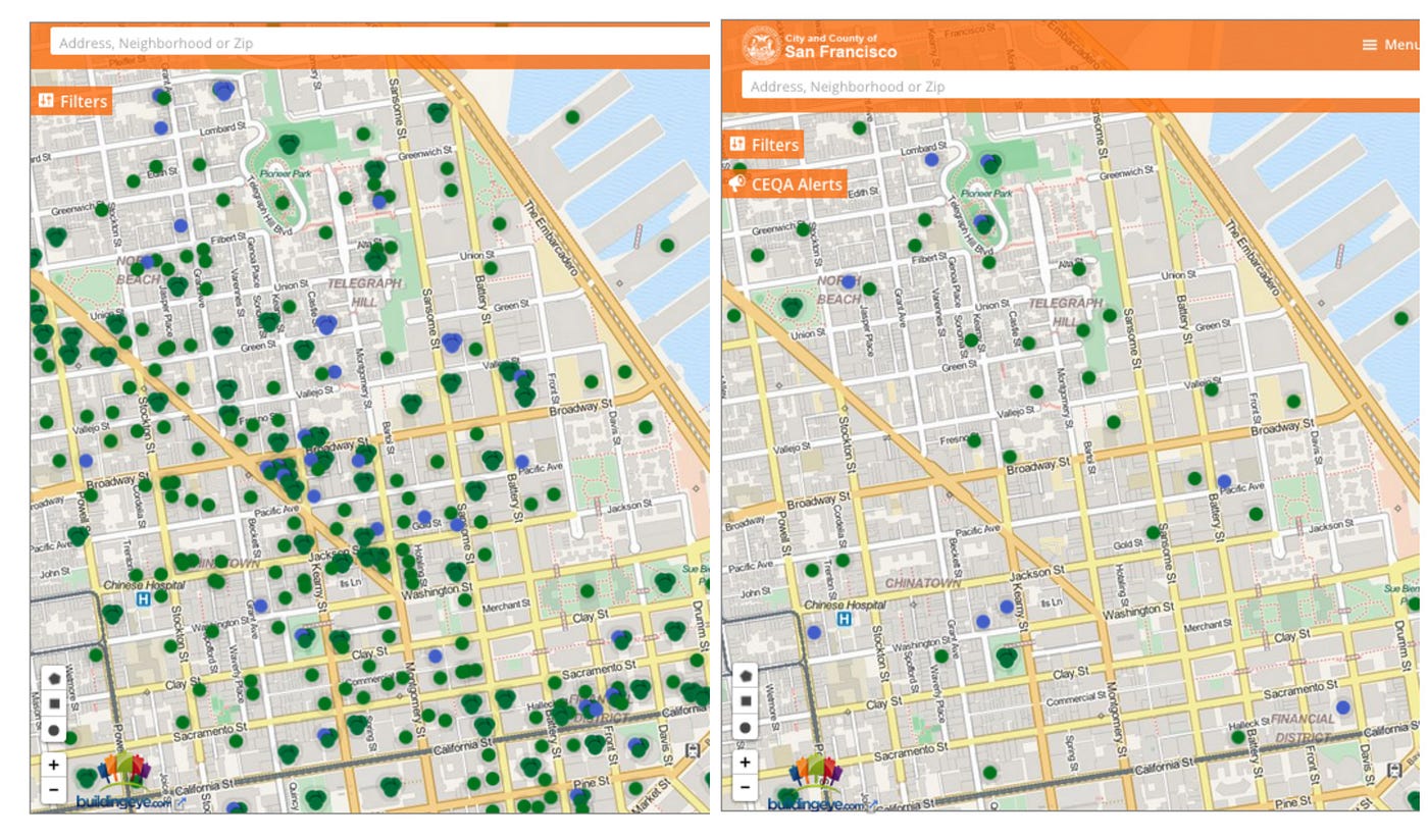
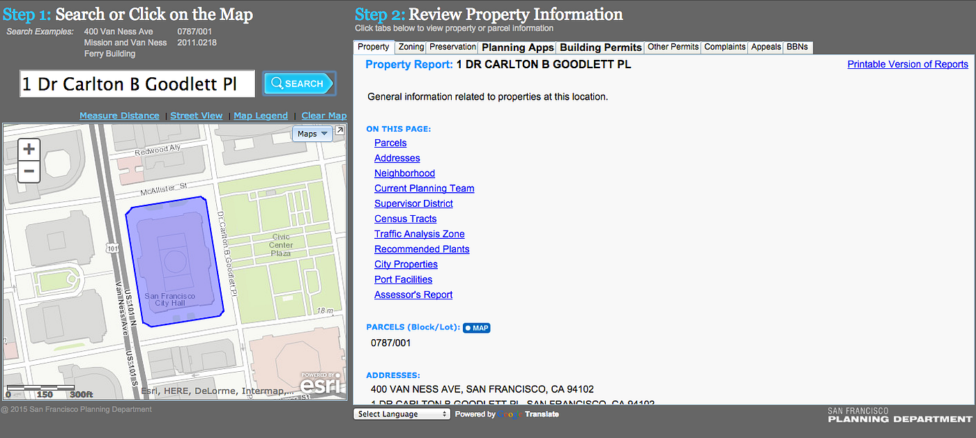
Understanding the Planning Department map is pretty simple: the blue circles represent applications still under review and the green circles are approved projects. You can also filter by keywords such as “high rise” or “condo,” thereby choosing what type of application to look for, as well as timeframe of construction. When you click on either a blue or green circle, there’s an option to review more information about the project. So far, the data goes back to 2009, is updated every afternoon, and currently shows 1,478 permits still under review. It’s also a step up from the previous map residents had to work with, which didn’t offer filters and wasn’t as easy to read. You can look at the old (but still available) map below.
The California Environmental Quality Act (CEQA) map works essentially the same way. A green circle stands for projects that have already undergone an environmental review and a blue circle represents projects that are still in the process of environmental review. You can also filter the map to see more information about the project. There are currently 59 projects that are working on a CEQA.
For all the laments about transparency and open data, these maps are a step in the right direction and let people see proposals before construction starts.
[via Curbed SF; top photo courtesy of torbakhopper/Flickr]
Got a tip for The Bold Italic? Email tips@thebolditalic.com.
The Bold Italic is a not-for-profit media organization, and we publish first-person perspectives about San Francisco and the Bay Area. We operate under a fiscal sponsorship of a 501(c)(3).
You can become a paid subscriber. Or donate. Or learn more about us.